# Java-Based City of Mississauga Sewer Asset Analysis
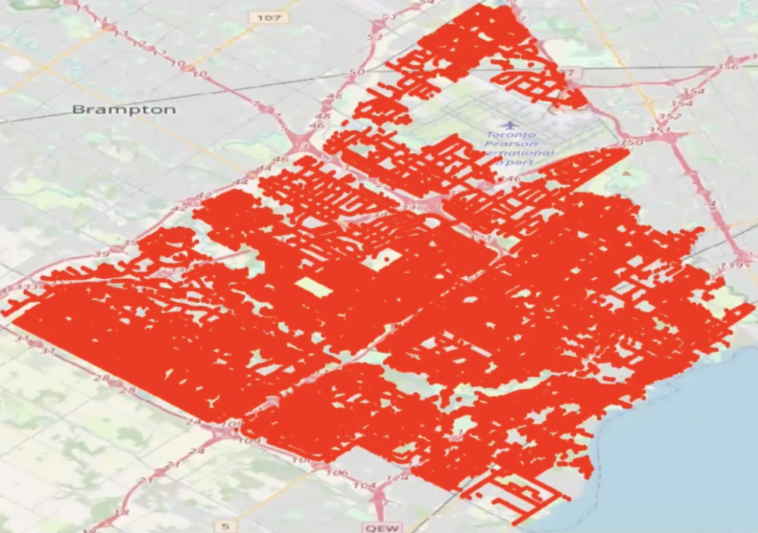
Programming a Java systems model revolving around sewer asset locations in the city of Mississauga,
using openly distributed data sourced from data.mississauga.ca, Mississauga’s open data collection.
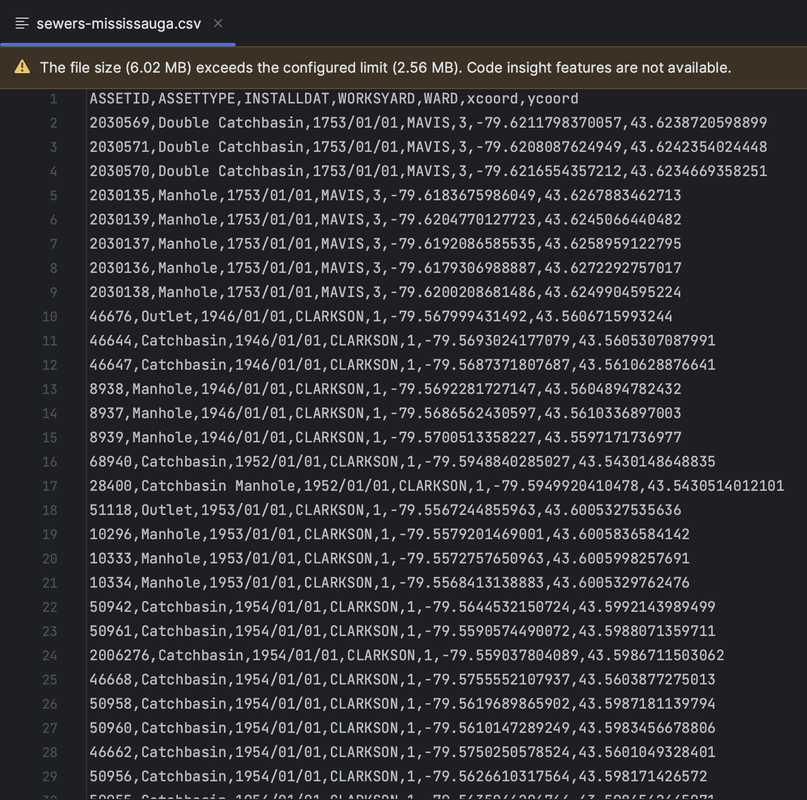
Applied I/O operations on a .csv file containing information on over 80,000 sewer asset locations
across the city, their associated asset IDs, asset types, installation dates, work yard regions,
ward numbers and positional x, y coordinates.
 ### Usage
Upon running the program, users are able to analyze subsets of the large dataset of sewer locations.
For given partitions of the dataset, users can view the number of sewer assets that lie in a certain
works yard and ward zone (amongst options such as Mavis, Clarkson, Malton and Meadowvale). Haversine
distance calculations can be performed between all sewer assets dependent on unique sewer identifiers.
Users can additionally retrieve information on individual sewer assets and their asset types
(types include catch basins, double catch basins, manholes, FDC manholes, outlets, plugs and pipe inlets).
